搜索结果: 1-10 共查到“LST”相关记录10条 . 查询时间(0.078 秒)

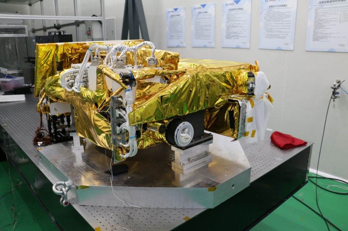
2024年7月8日,中国科学院紫金山天文台“夸父一号”卫星(ASO-S)科学团队取得一系列科学成果。科学团队利用“夸父一号”卫星载荷莱曼阿尔法太阳望远镜(LST)的全日面成像仪(SDI)观测数据获得首个Lyman-alpha (莱曼阿尔法,Lyα) 波段卡林顿图,并用于科学分析,相关成果发表在国际天文学期刊The Astrophysical Journal Letters (ApJL)。科学团队提...

RETRIEVING LST AND ITS THERMAL ENVIRONMENT EVALUATION ANALYSIS BASED ON CBERS-02 IRMSS AND MODIS DATA
CBERS-02 IRMSS Land Surface Temperature (LST) Atmospheric Water Vapour Content Human Body Comfort Index Thermal Environment Evaluation
2016/3/17
The thermal environment and thermal effect is one of the most important contents in city climate and environment researches.Retrieving and analyzing land surface temperature (LST) is an efficient way ...
EVALUATION OF SPATIAL AND TEMPORAL DISTRIBUTION CHANGES OF LST USING LANDSAT IMAGES (CASE STUDY:TEHRAN)
Remote sensing Landsat Images land surface temperature urban heat islands Tehran
2016/1/15
In traditional approach, the land surface temperature (LST) is estimated by the permanent or portable ground-based weather stations. Due to the lack of adequate distribution of weather stations, a uni...
The Atmospheric Compensation Component of a Landsat Land Surface Temperature (LST) Product: Assessment of Errors Expected for a North American Test Product
Landsat Surface Temperature Atmospheric Compensation
2014/12/4
The Landsat archive of thermal data (Landsats 4, 5 and 7) has gone through a rigorous calibration assessment and update. However, in order to be useful to most users the calibrated sensor reaching rad...
GEOSTATISTICAL ANALYSIS OF SURFACE TEMPERATURE AND IN-SITU SOIL MOISTURE USING LST TIME-SERIES FROM MODIS
MODIS MODIS LST skin temperature near-surface soil moisture land cover geostatistics time-series
2014/4/29
The objective of this analysis is to provide a quantitative estimate of the fluctuations of land surface temperature (LST) with varying near surface soil moisture (SM) on different land-cover (LC) typ...
腾冲火山地热区位于印度板块与欧亚板块俯冲-碰撞带的弧后活动区,是我国新生代火山-地热最为活动的地区之一。本文利用MODIS夜间月平均地表温度(Land Surface Temperature,LST)数据,计算了研究区2001~2011年132个月的月平均地表温度,圈定了地温异常区;分析了异常区年内及年际间的平均地表温度变化趋势,推测了可能的地下岩浆囊分布位置及活动特征。研究结果表明,腾冲地区现今...
DEVELOPMENT OF OGC FRAMEWORK FOR ESTIMATING AIR TEMPERATURE FROM MODIS LST AND SENSOR NETWORK
Interoperability Web based Distributed Sensor Temperature
2014/6/12
While the satellite data and meteorological measurement are more easily available, there is a lack of comprehensive framework that provides an estimated air temperature map with ease of use to the en...
以陕西省为研究区域,利用2005年4月的MODIS月合成产品数据MODIS11C3和MO-DIS13C3获取的归一化植被指数NDVI、增强型植被指数EVI和陆地表面温度LST,分别构建TS-NDVI和TS-EVI特征空间,从而得到了条件温度植被干旱指数TVDI和旱情等级的空间分布图,以监测评价陕西的旱情,同时将两者进行比较,最后结合94个气象站的气温和降水距平进行了相关性分析.结果表明:利用条件温...
2001年春季,中国北方多次受到沙尘天气的影响,给人们的生产、生活带来严重的威胁,引起了亚洲国家的广泛重视。利用卫星监测数据采集沙尘云图变化、运移路径、地表覆盖和沙尘过程中的地面反照率、温度、湿度、粗糙度等物理参数反演实验结果,可以弥补地面观测站点稀少、数据不连续的缺陷。本文以2001年3月到5月的几次沙尘天气为例,介绍基于地表覆盖的AVHRR的LST/Albedo反演结果...


